Sprague River, OR Land for Sale: 120 Acres with Check "access Note" Dirt Road (land…
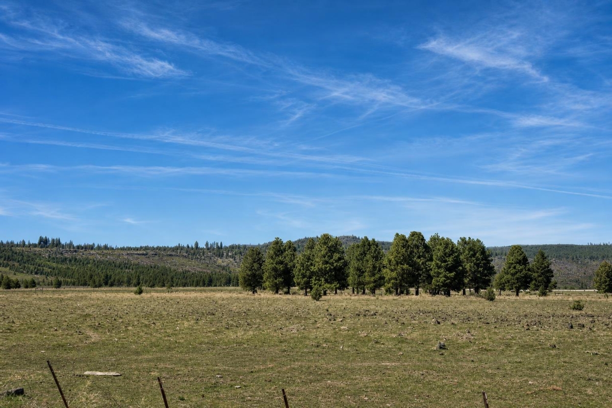
Remote acreage can be compelling when the price-per-acre looks approachable, but access and infrastructure decide whether it actually fits your plan. This Sprague River tract is best approached as a due-diligence-heavy recreational land opportunity, not as a ready-to-build homesite.
LC25167 is a 120-acre vacant land listing on Tableland Rd #3900 in the Sprague River area of Klamath County, Oregon, priced at $40,000 cash. The parcel number is 275785, with legal description Tax Map Number R-3511-00000-03800.
The key caveat is significant: the listing describes the property as landlocked, with ATV/off-road access only and no maintained road access. It also lists no utilities and recreational zoning, so legal access, permitted uses, water, septic, and any building plans need county and title verification before purchase.
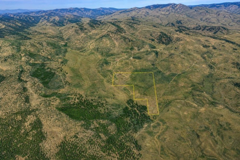
Key Facts for LC25167
Use these details as search anchors when checking county records, title documents, maps, and seller-provided materials.
A large tract gives room for recreational planning, but it also makes boundary, access, and site-condition checks more important.
The cash price frames affordability, while the deed type should still be reviewed with title documentation before closing.
These are the primary identifiers to use for assessor, GIS, title, and county planning questions.
This identifies the listing area, but the road label should not be treated as proof of legal frontage or maintained access.
Coordinates help with map review, terrain screening, and surrounding-land checks, but they do not replace a survey.
This is a starting point only; allowed uses, structures, RV stays, and permits must be confirmed with Klamath County.
This is the most important practical and legal issue for a buyer to resolve before purchase.
Plan from a no-infrastructure baseline and verify current tax status, special assessments, and utility feasibility independently.
Area Setting: Rural Klamath County, Not a Subdivision-Ready Lot
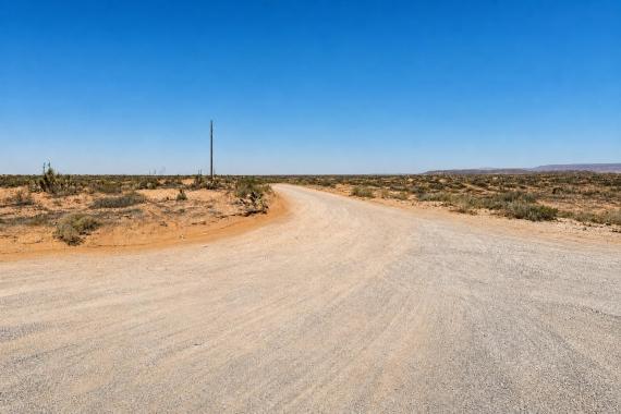
The listing places the land in Sprague River, an unincorporated rural area of Klamath County. The parcel-specific data identifies Tableland Rd #3900 and coordinates 42.5185, -121.3912, but the access note is more important than the street label: no maintained road access is listed.
For a buyer, the local context is less about amenities and more about county rules. Klamath County provides planning, land-use map, applications/forms, and assessor/GIS resources that should be used to confirm the parcel, zoning overlays, floodplain questions, and potential permit pathways.
Rural services and infrastructure should not be assumed in this area. Because the listing says no utilities and ATV/off-road access only, any plan involving overnight use, structures, water, septic, or regular vehicle access needs a practical cost and approvals check.
Potential Uses and Buyer Fit
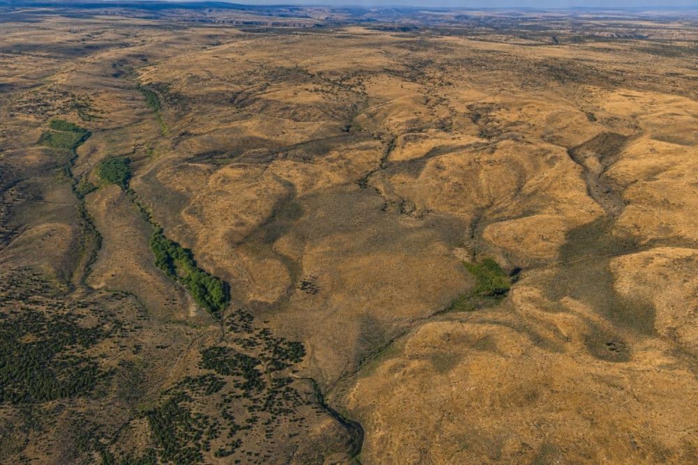
This tract is most likely to interest buyers who prioritize acreage, privacy, and a recreational landholding over convenience. The 120-acre size gives room to evaluate outdoor, conservation, or long-term rural land plans, but the listing’s access and utility limitations narrow the buyer fit.
Any use should be treated as conditional until verified. Zoning, recorded legal access, physical access, water, septic, utilities, fire safety, hunting rules, camping/RV rules, and county permits can all affect what is allowed and practical.
- Remote recreation or hunting-oriented use, subject to legal access, Oregon hunting rules, season limits, and land-use restrictions.
- Seasonal camping or RV staging only if Klamath County allows the intended duration and sanitation or waste requirements can be met.
- Open-space, conservation, or low-impact landholding for a buyer comfortable with limited access and no utility service.
- Off-grid project exploration, but only after confirming home site eligibility, legal access, water source, septic feasibility, power or solar plans, and all permits.
- Agricultural or grazing investigation only if zoning, soils, water rights, fencing, access, and local rules support it; the category tag alone is not permission.
Due Diligence Checklist Before You Buy
For this parcel, due diligence is not a formality. The landlocked access note, recreational zoning label, and no-utilities status should drive the entire review process.
Prove recorded legal access
Ask for title evidence, deeded easements, and any recorded access documents. Verify whether “landlocked” means no legal access, no physical road, no maintained road, or a combination of those issues.
Confirm boundaries with GIS and survey evidence
Use parcel number 275785 and Tax Map Number R-3511-00000-03800 in county records. GIS is useful for screening, but a survey or title-grade boundary review is the better tool for purchase decisions.
Verify zoning and allowed uses
Confirm how Klamath County interprets the listing’s recreational zoning for this exact parcel. Ask about camping, hunting-related use, structures, dwellings, accessory buildings, and any conditional use steps.
Check building, cabin, RV, and campsite rules
Do not assume recreational zoning allows a cabin, RV occupancy, or a home site. Ask the county what approvals, site plans, sanitation requirements, and duration limits apply.
Evaluate road status and emergency access
Confirm the status of Tableland Rd #3900 and any route to the property. Road maintenance, emergency response, seasonal access, and the legality of crossing neighboring land are separate questions.
Price utilities, water, and septic from zero
The listing says no utilities. Confirm whether electric service can be extended, whether an off-grid system is practical, and whether water and septic options meet county and state requirements.
Screen floodplain, environmental, and fire constraints
Review county and FEMA floodplain resources, terrain, drainage, habitat or environmental overlays, and wildfire exposure before planning structures or regular use.
Verify taxes, title, and encumbrances
Confirm the current tax amount, ownership record, liens, assessments, deed restrictions, easements, and title exceptions. The listed annual taxes of $262.44 should be checked against current county records.
Klamath County Planning Division is the best official starting point for land-use questions, planning contacts, floodplain references, and permit pathways such as site plans, home site approval, and conditional use review.
Financing and Purchase Structure
The supplied listing shows a $40,000 cash price and does not list owner financing terms. Buyers should be prepared to evaluate this as a cash purchase unless updated seller terms are confirmed directly.
For a remote, landlocked parcel, the purchase budget should include more than the contract price. Title work, survey or easement review, access analysis, utility studies, water and septic feasibility, and permit research can materially affect the true cost of ownership.
- Is the $40,000 cash price still current?
- What deposit, closing timeline, and escrow process apply today?
- Will the seller provide title evidence showing any recorded access rights?
- Are there any unpaid taxes, liens, special assessments, or restrictions?
How to Compare This Parcel With Other Oregon Land
Do not compare this tract only on acreage and price. Landlocked status, no utilities, recreational zoning, and no maintained road access can make a large parcel less usable than a smaller tract with deeded frontage and infrastructure.
When reviewing other Sprague River or Klamath County land, line up the same facts side by side: legal access, road maintenance, zoning, buildable-lot status, water and septic feasibility, utility distance, floodplain status, taxes, and title exceptions.
This parcel may fit a buyer who wants remote acreage and is comfortable solving access and infrastructure questions. It is less likely to fit someone seeking a conventional homesite without significant verification first.
Questions buyers may ask about this property and area
Bottom Line
LC25167 is a substantial 120-acre rural tract in the Sprague River area with a clear recreational-land angle and a listed $40,000 cash price. For the right buyer, the acreage and remote setting may be the appeal.
The tradeoff is equally clear: the listing says landlocked, ATV/off-road access only, no maintained road access, and no utilities. Those facts may be acceptable for a remote recreational buyer, but they are major obstacles for anyone expecting regular vehicle access or near-term building.
Before moving forward, use the parcel number and tax map number to verify county records, then have access, title, zoning, floodplain, water, septic, and road questions answered in writing by the appropriate professionals and county offices.
Interested in LC25167?
Review the full listing details, then ask targeted access, title, and zoning questions before making a decision.
Helpful Verification Resources
Use the Klamath County planning resources, county GIS or assessor records, and the parcel identifiers above to confirm the facts that matter most before purchase.
You Might Like

Unique Development Opportunity in Butler Bay, St. Croix, United States Virgin Islands!
Do you believe that dreams come true? That there is paradise on the Earth? That there is a place where you can escape from cities and just enjoy nature how it is?

Is Seasonality a Factor When Selling Your Property?
Fall, winter, spring or summer does it really matter what time of year you sell your property? The answer may surprise you. While homes sell all throughout the year,...
Lehigh Acres, FL Land for Sale: 0.23 Acres with Paved Road Access
A practical guide to a 0.23-acre Lehigh Acres lot with paved road access noted and key Lee County checks to make before buying.