+1
0.89 Acres for Sale in Banks, Arkansas
$989

Property Details
Property Description
Property Description
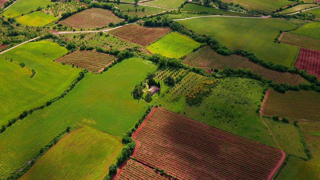
Presenting 3 Lots Together under one APN #.
Great Location! Great curb appeal!
Power, Water and Sewer at the Street!
Banks is one of only three incorporated communities in Bradley County. Once known for its relationship to the railroads and the timber industry, the town is now chiefly considered a center for hunters in the southern Arkansas forests.
Caddo lived in the region where Banks is located as much as 5,000 years ago. Eventually, European and American explorers and settlers arrived in what is now Arkansas, and the Caddo were moved farther west. Among the first landowners in the area were John McFarlin (who obtained his land grant in 1856), John Evans, and Pleasant D. Morgan—the latter two claiming their land in 1860. Before the Civil War, some land was cleared in the area for the construction of the Mississippi, Ouachita and Red River Railroad (MSRRR), which had been chartered in 1852. Tracks were not completed, though, before the outbreak of the Civil War ceased railroad construction in Arkansas.
After the Civil War, investors from northern states became interested in the natural resources of Arkansas. Bradley County was particularly noted for its trees, and James E. Lindsay of Davenport, Iowa, was one of the investors drawn to the area. His company, Lindsay Land and Lumber, acquired property in 1883 at the location that would become Banks. Around this time, the Choctaw, Oklahoma and Gulf Railroad built a line through Bradley County, laying tracks that would later be acquired by the Chicago, Rock Island and Pacific Railroad. A depot built on the line led to the establishment of a post office that was first called Morgan, probably for Pleasant D. Morgan. In 1899, a sixteen-mile railroad was built for traffic between Morgan and Warren (Bradley County), the county seat, using some of the land that had already been graded for the MSRRR. Known as the Warren and Ouachita Valley Railroad, the line was built by the Arkansas Lumber Company and the Southern Lumber Company, but it later was acquired by the Rock Island line.
Though it never gained the size or the reputation of Warren or Fordyce (Dallas County), the community known at first as Morgan was also a lively lumber town. The intersection of railroads led to the emergence of stores and houses. For reasons no longer remembered, the post office changed its name in 1906 to Banks. The next year, the town of Banks was incorporated. By 1910, it had 244 citizens. Over the years, the population fluctuated, reaching a high of nearly 350 in 1920 but dipping below 100 in 1990.
The decline in population was no doubt due to the completion of the timber industry’s logging of the area. Rail traffic continued on the Rock Island line until the railroad went bankrupt in the 1970s and completely shut down in 1980. By this time, Highways 4 and 275 had been built through Banks, connecting it to the larger cities of southern Arkansas.
As of 2013, Banks has several businesses and enterprises, although only the fire department has more than five employees. There are number of churches in Banks including Baptist, Church of God in Christ, and Presbyterian. The population in 2010 was 124.
To mark the opening of deer hunting season in Arkansas, Banks holds the Buck Fever Festival the second weekend of each November. Started in 1987, the festival features a parade, a talent contest, music and dance, a horseshoe tournament, vendors of food and craft items, and an ecumenical worship service.
 Property Pricing, Terms & Doc/Recording Information and Pricing
Commonlots will record your Deed with the county. The Document -Recording Fee is $185.00
Depending upon the county, recording may take up to 4-6 weeks. Commonlots will deliver the Deed to Buyer via USPS or Federal Express.
Property Legal information
Timber Acres: 0.00
Sec-Twp-Rng: --
Lot/Block: 4-6/92
Subdivision: BANKS
Parcel #: 830-00047-000
About the Area
Bradley is located in Lafayette County and is home to Conway Cemetery State Park, an eleven-acre historic site that includes the family plot of the former Conway home site cotton plantation. The state's first governor, James Sevier Conway, is buried here.
Find Places to Stay Find Events
James Sevier Conway (1796-1855), surveyor, planter, prominent and influential citizen of pioneer Arkansas, took office as Arkansas' first governor when Arkansas was admitted to the Union as the 25th state on June 15, 1836. Dedicated to his memory, this 11.5-acre state historic site preserves Governor Conway's final resting place, the one-half-acre family plot at what was once his cotton plantation.
The cemetery lies just south of the former site of the Conway plantation home called Walnut Hill. Born in Tennessee, Conway came to Arkansas from St. Louis in 1829 as a surveyor. He settled on the Long Prairie west of the present town of Bradley. Conway surveyed the boundary between Arkansas and the Choctaw Nation which is today the western line of the state that stretches from Fort Smith south to the Red River. He also assisted with the survey of the Arkansas-Louisiana boundary.
In 1832, President Andrew Jackson appointed Conway as surveyor of the Territory of Arkansas. In 1836, Conway became the Democratic nominee for governor of the new state of Arkansas. He was elected by a substantial majority and for the following four years presided over the fledgling government of this sparsely settled frontier commonwealth. Poor health and a troubled state economy caused Conway to decline a second four-year term.
In 1848, he returned to his plantation where he continued to be active in civic affairs until his death in 1855. A biographical marker detailing the life of Governor Conway is featured in the park. This state park is located in the southwestern part of Lafayette County near the far southwestern tip of Arkansas. There are no campsites or visitor services available at this state historic site. To reach Conway Cemetery State Park from Bradley, travel two miles west on Ark. 160 to the community of Walnut Hill, then turn south on the county road and go 1/2 mile to the park.
Disclaimer From LandCentury
The information within this listing is posted by a private or third-party seller, and we do not guarantee the accuracy of the information enclosed. We encourage you always to verify ownership and property details listed. As a precaution, due diligence in any real estate transaction is encouraged, and closing through a verified title company is advised. To the maximum extent permitted by law, we do not accept any responsibility to any person for the accuracy of the information herein.