+22
Local Information
Disclaimer
The information within this listing is posted by a private or third-party seller and we do not guarantee the accuracy of the information enclosed. We encourage to always verify ownership and property details listed. As a precaution, due diligence in any real estate transaction is encouraged and closing through a verified title company is advised. To the maximum extent permitted by law we do not accept any responsibility to any person for the accuracy of the information herein.
320 Acres for Sale in Lovelock (Owner Financing $1,199.00 a month and no Credit Check), Nevada
$119,995

Property Details
Property Description
Property Description:


320 Acres Surrounded by BLM Government Land — East of Seven Troughs Mountain!
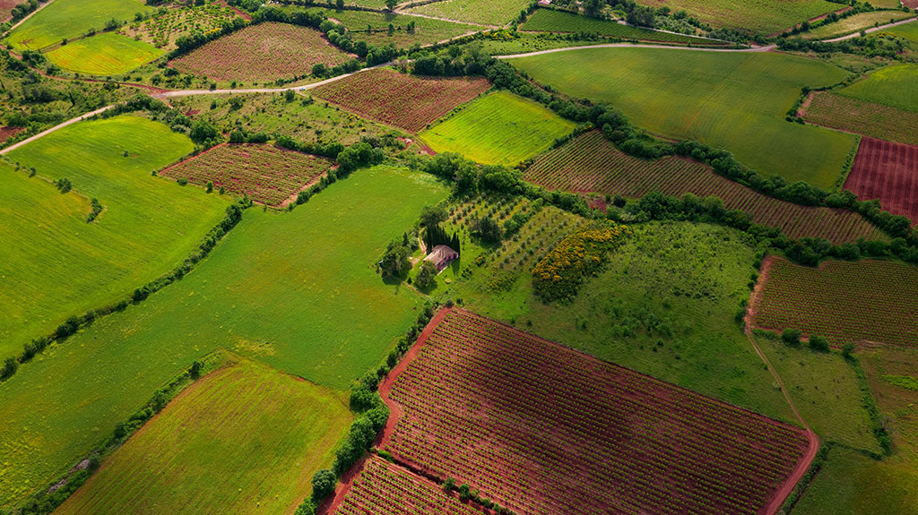
Own a vast stretch of Nevada in Burnt Canyon, on the western side of Sage Valley in Pershing County. Approximately 20 miles from Lovelock, this 320-acre property offers road access, majestic mountain views, and proximity to BLM government lands.
Imagine a private country retreat, a future home with sweeping views, or space for farming and agricultural pursuits. With room to explore and enjoy the peaceful valley landscape, this property offers an exciting opportunity to invest in land and bring your vision to life.
Building and agricultural uses are subject to county requirements and water availability.
BUILD • FARM • EXPLORE • INVEST • OWN
CommonLots.net — Own Your Piece of America!
Pricing:
Cash price
$119,995.00
$4,995.00 deposit to hold
Owner financing
$129,995.00
$1,199.00/month · $2,995.00 down payment · 135 months
No credit check
No income verification
Everyone qualifies
No realtor fees
Looking to save big? Put more down upfront or commit to a higher monthly payment and we'll give you a special deal that saves you thousands over the life of your agreement!
Property Details
APN
003-051-15
Annual Taxes
199
HOA / POA
None
Lot size
320 Acres
Conveyance
Warranty Deed
Liens / back taxes
None
County
Pershing
Terrain
Flat, Mountain Foothills Elevation
Elevation
4500
Legal
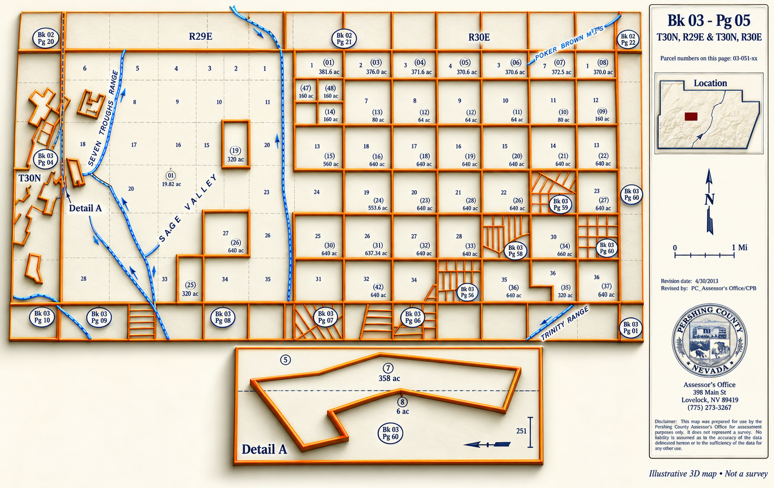
APN 003-051-15 LEGAL DESCRIPTION: E½ of Sec 15, T30N, R29E, MDB&M East of 7 Troughs
GPS Coordinates
Center
40.471715662423, -118.70890785712
↗
Northwest corner
40.478310 , -118.712384
↗
Northeast corner
40.478244 , -118.702857
↗
Southwest corner
40.463749 , -`1`18.702771
↗
Southeast corner
40.463814 , -118.712384
Disclaimer From LandCentury
The information within this listing is posted by a private or third-party seller, and we do not guarantee the accuracy of the information enclosed. We encourage you always to verify ownership and property details listed. As a precaution, due diligence in any real estate transaction is encouraged, and closing through a verified title company is advised. To the maximum extent permitted by law, we do not accept any responsibility to any person for the accuracy of the information herein.