+3
10 Acres for Sale in Mile High, TX
$4,000

Property Details
Property Description
Affordable 10-acre land deal in Texas.
10-acre land in Hudspeth County, Texas
Members Price: $4,000
Land Size: 10 Acres
Road Access: Dirt road
Zoning: No zoning, no restrictions
HOA: None
Taxes: $18/year (approx.)
Property ID Number: 55503
Legal: SW4 of the SW4 of the SE4 of SECTION 10, BLK 67, TSP 10, T&PRR SURVEY
Not landlocked - 20' access easements
Conveyance is by Warranty Deed
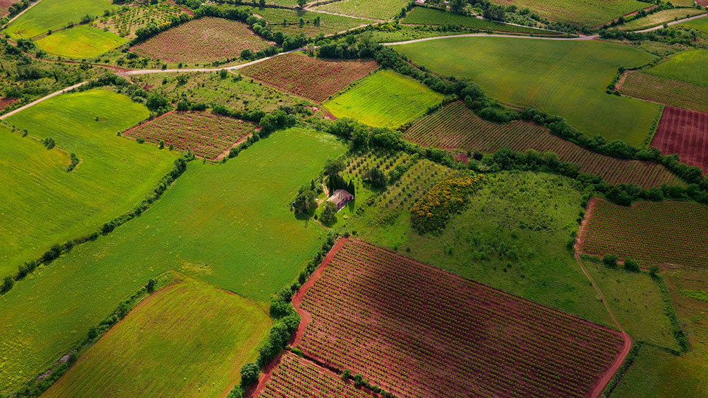
DESCRIPTION: The property is approximately 13 miles southwest of Van Horn, 30 miles southeast of Sierra Blanca, the Hudspeth County government seat, and 100 miles southeast of El Paso. The property is square in shape and 660' x 660' in size (435,600 square feet). From the intersection of Green River Road (the main County Road in the area) and Packer Trail (Intersection: 30°51'31.47"N, 104°55'54.00"W), turn onto Packer Trail and proceed west/northwest approximately 1.99 miles, then turn off to an unnamed dirt road and proceed approximately 0.47 mile... from there. The SW corner of the property is about 210 feet east. The Rio Grande River and the Mexican border are about 12 miles southwest. The elevation ranges from 4,424' to 4,444 across the property. There's no zoning, so Residential, Agricultural, and Recreational uses are permitted. The photos were taken in the general area and are typical of the property's terrain and views. There are NO association dues, and last year's property taxes were only $17.90.
DIRECTIONS TO THE PROPERTY: From the intersection of Green River Road (the main County Road in the area) and Packer Trail (Intersection: 30°51'31.47"N, 104°55'54.00"W), turn onto Packer Trail and proceed west/northwest approximately 1.99 miles, then turn off to an unnamed dirt road and proceed approximately 0.47 mile... from there. The SW corner of the property is about 210 feet east.
Disclaimer From LandCentury
The information within this listing is posted by a private or third-party seller, and we do not guarantee the accuracy of the information enclosed. We encourage you always to verify ownership and property details listed. As a precaution, due diligence in any real estate transaction is encouraged, and closing through a verified title company is advised. To the maximum extent permitted by law, we do not accept any responsibility to any person for the accuracy of the information herein.