Keno, OR Land for Sale: 120 Acres with Paved Access & City Utilities
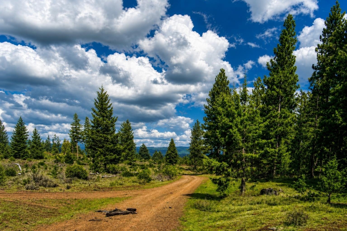
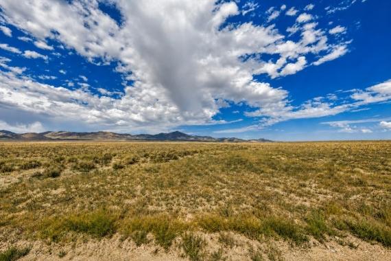
For buyers looking for substantial southern Oregon acreage, this listing offers scale first: 120 acres in the Keno area of Klamath County, with agricultural and recreational category signals and a rural location that deserves careful verification.
The property is listed as LC25251, parcel 3907-00000-02200, with a Klamath County account/parcel reference of 486316. The listed location is Highway 66 near John C. Boyle Reservoir between Keno and Ashland, and the cash price is $120,000.
The main caveat is important: zoning, utility availability, access quality, flood status, and buildability should be confirmed through Klamath County and other official records before a buyer relies on them for a home site, business use, agricultural plan, or long-term recreational setup.
Property snapshot for LC25251
These are the core listing facts to use as a starting point, not a substitute for county records, title review, or on-site inspection.
This is a large rural tract, which can create flexibility but also raises the importance of confirming access, boundaries, land use, and infrastructure costs.
The supplied data lists a cash price and does not include owner-finance terms for this property.
These identifiers are the best starting points for GIS, assessor, tax, and title research.
The legal description helps match the listing to county taxlot records and should be checked against title documents before closing.
A Warranty Deed is the listed conveyance type, but buyers should still complete title review and confirm any easements, liens, or recorded restrictions.
This is a listing-reported zoning label; permitted uses must be confirmed with Klamath County maps, code, and planning staff.
Availability is not the same as connection. Buyers should confirm whether water, sewer, electric, and telecom service are actually available to the parcel and at what cost.
This tax figure is useful for budgeting, but current taxes, assessments, and exemptions should be verified through county records.
Keno and Klamath County setting
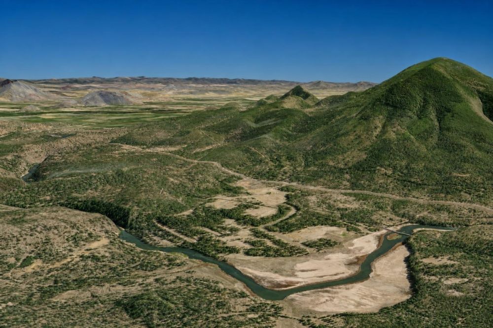
Parcel-specific facts are limited but meaningful: the listing places the land in Keno, Oregon 97627, in Klamath County, along Highway 66 near John C. Boyle Reservoir between Keno and Ashland. Coordinates are listed as 42.128, -121.994, which can help buyers locate the parcel in mapping tools.
General area context matters because rural Klamath County land can involve county versus city jurisdiction questions, access verification, utility distance, septic feasibility, and environmental or hazard overlays. None of those items should be assumed from acreage alone.
Klamath County provides planning, GIS, land development, and parcel resources that are especially relevant here because the listing includes a broad zoning label and a utility note that explicitly says verification is required.
Potential uses and buyer fit
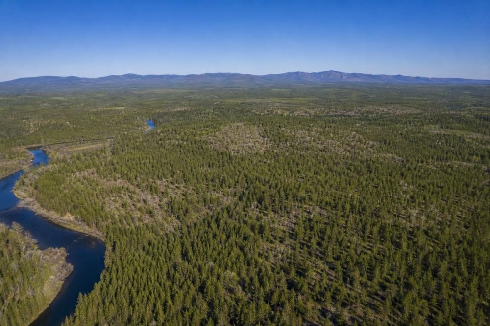
The property’s 120-acre size and its Agricultural & Farm Land and Recreational & Hunting Land categories may appeal to buyers seeking space, privacy, land banking, recreation, agricultural exploration, or a future improvement site. Those ideas are possibilities only, not approvals.
The listing-reported Residential and Commercial zoning label could be significant, but it should not be treated as a guarantee that a residence, business, mixed-use project, RV use, subdivision, agricultural structure, or any other specific use will be approved.
A good fit is a buyer who is comfortable doing rural land due diligence early: confirming the exact zoning, legal access, service availability, water and septic path, title condition, and any floodplain, environmental, or wildfire-related constraints before committing to a plan.
- Large-acreage hold or long-term land ownership, subject to taxes, title, and access verification
- Outdoor recreation or hunting-oriented use, subject to local rules, access rights, and any seasonal or environmental restrictions
- Agricultural or grazing-related exploration, subject to zoning, water availability, fencing needs, soil conditions, and any required permits
- Future rural homesite evaluation, only if planning, building, septic, access, and utility requirements can be satisfied
- Commercial or mixed-use investigation, only if the official zoning and land development code allow the intended activity
Due diligence checklist for this Keno acreage
Use the listing facts as a lead, then confirm the property through official records, title work, provider calls, and a site visit.
Match the parcel in county records
Search using parcel 3907-00000-02200, account/parcel 486316, and the legal description reference to confirm the taxlot, acreage, ownership record, and mapped location.
Confirm zoning and jurisdiction
Verify the actual mapped zoning and determine whether the parcel is under county or city jurisdiction. Ask planning staff which uses are allowed by right and which require conditional approval, site plans, or additional review.
Verify legal access and road responsibility
The listing says access is paved to dirt road. Confirm whether each segment is public, private, or easement-based; who maintains the dirt section; and whether access is practical year-round.
Check utilities with providers and the county
Do not assume service is connected. Confirm water, sewer or septic options, electric service, and telecom availability, including distance to lines, connection fees, extension requirements, and any provider limitations.
Evaluate water and septic feasibility
If the intended use requires a home, cabin, commercial structure, or long-term occupancy, ask about septic evaluation, perc testing, well feasibility, water rights, and any local health or building requirements.
Screen flood, environmental, and hazard overlays
Because the listing is in a reservoir-adjacent corridor, review floodplain information, drainage concerns, wetlands or shoreline constraints, wildfire exposure, and any environmental overlays before planning improvements.
Review taxes, title, and restrictions
Compare the listed $400.00 tax figure with the current tax record. Order title review to identify liens, easements, mineral or access issues, deed restrictions, or other recorded matters that could affect use.
The Klamath County Planning Division is the best first official stop for land-use questions, home-site approval guidance, floodplain references, and development contacts for this property.
Financing notes
The supplied data lists this as a $120,000 cash-price property and does not provide owner-finance terms. Buyers should treat it as a cash listing unless the seller confirms other terms in writing.
If you plan to use a land loan or other financing, expect the lender to care about legal access, title condition, zoning, utilities, survey or boundary clarity, and whether the intended use is feasible.
- Is the seller accepting anything other than a cash purchase?
- Will a lender require proof of legal access, survey, utilities, or zoning compliance?
- How much should be reserved for title work, due diligence, inspections, utility research, and closing costs?
- If payments are important, should you compare this cash listing with separate owner-finance land options?
How to compare this parcel with other Oregon land
On a simple list-price basis, $120,000 over 120 acres equals about $1,000 per acre before closing costs, taxes, surveys, title work, improvements, utility extensions, or development expenses.
Price per acre should not be the only comparison point. For rural Klamath County acreage, legal access, road condition, zoning, water and septic feasibility, utility distance, floodplain status, and title condition can matter as much as the headline price.
Use this parcel’s exact identifiers when comparing options so you are evaluating the real taxlot, not just a general map pin or broad location description.
Questions buyers may ask about this property and area
Bottom line for buyers
This is a substantial Klamath County acreage listing with clear core facts: 120 acres, a $120,000 cash price, a listed Warranty Deed, and parcel identifiers that make official research more straightforward.
The opportunity is tied to scale and location, but the decision should turn on verification. Zoning, utilities, road access, flood or environmental constraints, septic feasibility, and title matters will determine what the property can realistically support.
The supplied seller context identifies LandSupplier LLC as a verified wholesaler/investor, but buyers should still complete the same public-record, title, and land-use checks they would for any rural land purchase.
Interested in this Keno, Oregon acreage?
Review the full listing details, then use the parcel number and county resources to verify the facts that matter for your intended use.
Helpful next step
Start with Klamath County planning guidance, then cross-check county GIS, assessor records, land development rules, utility providers, and floodplain resources before making an offer.
You Might Like

Romance, History and Innovation Thrives in Tennessee
Can you hear the refrain, Davy Davy Crockett! King of the wild frontier screeching in your head? Are Civil War battlefields stirring your heart to go out and find...

Land for Sale in Utah: A State With Geographical Diversity
Utah land is in abundance. The state spans nearly 85,000 miles, but is home to just 2.9 million residents as of 2013. The state is seeing a slow growth in...

Cheap Vacant Lots for Sale in Brevard County, FL
Brevard County Florida is one of the hottest places for vacant lots in the country. Situated in the middle of the state and on the East Coast, Brevard County spans...