Jordan Valley, OR Land for Sale: 34.19 Acres with Paved Road Access Listed
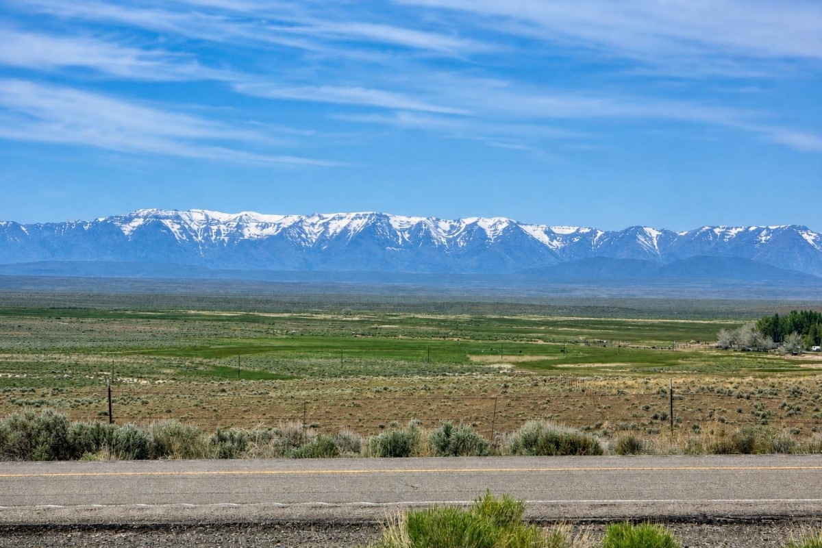
If you are looking for sizable rural Oregon acreage at a modest cash price, this is the kind of parcel that deserves a map-first, county-first review rather than a quick assumption about buildability.
LC25147 is a 34.19-acre vacant land parcel on ION Hwy in Jordan Valley, Malheur County, Oregon. The supplied listing data shows parcel 32S40-7300, a $20,000 cash price, Agricultural zoning, and paved road access noted.
The key caveat is verification: utilities are not confirmed, buildability is not established, and the legal description includes a highway right-of-way exception that should be reviewed with county records and title work.
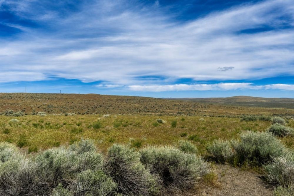
Property snapshot: what the listing data shows
These are the decision-level facts supplied for the parcel, with practical notes on what each one means for a buyer.
Use these identifiers when checking county GIS, tax, zoning, and title records.
Places the land in the county that controls local land-use and permitting questions.
Large enough for rural acreage uses, but usable area depends on access, terrain, setbacks, and any title exceptions.
The supplied price is the starting point for valuation; confirm the current price and closing costs before relying on it.
Signals an agriculture-focused land-use context, not an automatic approval for residential or non-farm development.
A positive listing note, but buyers should still confirm legal frontage, recorded access, and maintenance responsibility.
No utility availability is confirmed in the supplied data, so water, septic, power, and service extension questions remain open.
The deed type is listed, but the right-of-way exception should be reviewed in title, mapping, and boundary due diligence.
Area setting: rural Malheur County context
Jordan Valley is in rural southeast Oregon, so buyers should evaluate the parcel with realistic expectations about services, contractors, utilities, inspections, and response times. That is general area context; it does not confirm parcel-specific utility access or development approval.
Malheur County Planning and Zoning handles zoning permits, land-use applications, and planning actions. County code also includes rural/resource zoning and overlays such as floodplain, environmental hazards, and other mapped constraints that can affect what a buyer may do with land.
County GIS and related map tools are practical starting points for checking parcel location, zoning, floodplain, onsite wastewater context, and nearby roadway information. Because the legal description references a highway right-of-way exception, the access and boundary picture deserves extra attention.
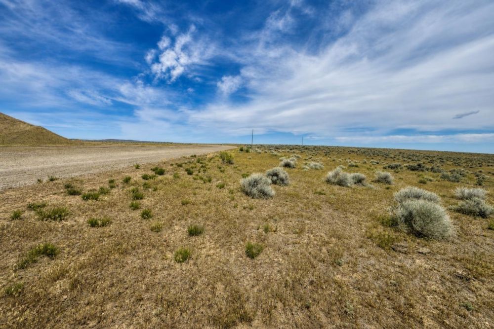
Potential uses and buyer fit
Because the supplied zoning field is Agricultural, the safest way to evaluate this parcel is as rural resource acreage first, not as a guaranteed homesite.
The following possibilities are starting points for investigation only. Actual use depends on the exact zoning district, overlays, legal access, utilities, water, septic feasibility, fire rules, title exceptions, and county approvals.
- Agricultural or grazing-related use, if consistent with county zoning and practical site conditions such as water, fencing, soils, and access.
- Long-term rural land ownership or open-space holding, after confirming title, taxes, access rights, and any restrictions.
- Low-impact recreation or hunting-oriented ownership, only after verifying legal access, camping rules, fire restrictions, game regulations, and any county limitations.
- A future rural dwelling or accessory improvements, only if Malheur County confirms eligibility and the buyer can satisfy building, septic, water, access, and permit requirements.
Due diligence checklist for parcel 32S40-7300
Before treating the acreage as buildable, farm-ready, or utility-served, work through these checks with the county, title professionals, and qualified local providers.
Match the parcel in county GIS
Search parcel 32S40-7300 and compare the mapped tax lot with the legal description, acreage, coordinates, and ION Hwy location shown in the listing data.
Confirm the exact zoning district and overlays
The listing says Agricultural, but the county should confirm the exact district, permitted uses, conditional uses, setbacks, and any floodplain, hazard, airport, or other overlays.
Ask the buildability question directly
Do not rely on a category tag. Ask whether a dwelling, accessory structure, agricultural building, partition, or other improvement is allowed and what approvals would be required.
Verify legal and physical access
The listing notes paved road access. Confirm legal frontage, recorded access rights, public or private road status, maintenance responsibility, and any effect of the highway right-of-way exception.
Resolve utilities, water, and septic
The supplied data does not confirm utilities. Ask about power availability, well feasibility, hauled water rules if relevant, septic or onsite wastewater requirements, and the cost of any extensions.
Check taxes and assessments
The listing data shows annual taxes of $21.79, which appears very low for buyer planning. Verify current taxes, payment status, assessed value, and any special assessments with county records.
Order title work and review exceptions
A title report or title commitment can reveal easements, rights-of-way, restrictions, access matters, mineral reservations, or other exceptions that affect use and resale.
Screen flood, wildfire, and site constraints
Review county and FEMA flood resources, rural fire context, drainage patterns, and any visible site constraints before budgeting for improvements or insurance.
The Malheur County Planning and Zoning Department is the best official starting point for zoning, permits, floodplain questions, land-use applications, and county GIS direction for this parcel.
Cash purchase and terms to confirm
The supplied listing data shows a $20,000 cash price and a $5 deposit field. No owner-finance price or owner-finance terms are shown, and the property is not marked as owner-financed.
Before relying on payment mechanics, confirm the current price, deposit handling, closing timeline, deed process, title or escrow options, and any buyer closing costs.
- Is the $20,000 cash price still current?
- How is the $5 deposit handled, and is it credited toward purchase?
- Will closing use title, escrow, or another documented closing process?
- What closing costs, recording fees, taxes, or prorations will the buyer pay?
- Are there any financing options, or is this strictly a cash purchase?
How to compare this with other Oregon vacant land
Based on the supplied price and acreage, the list price is roughly $585 per acre before closing costs and due-diligence expenses. That simple number is useful, but it should not be the only comparison point.
When comparing this parcel with other Oregon land for sale, weigh the verified facts that actually affect usability: zoning, legal access, water, septic, power, floodplain status, title exceptions, survey confidence, road maintenance, and distance from services.
A lower acreage price can be attractive, but it can also reflect rural location, limited utilities, agricultural restrictions, or additional buyer work. The strongest comparison is against parcels where the same due-diligence items are documented.
Questions buyers may ask about this property and area
Bottom line
This Jordan Valley acreage stands out for its size, $20,000 cash price, listed Agricultural zoning, and paved road access note. For a buyer comfortable with rural Oregon land, those are meaningful starting points.
The important word is starting. The supplied data does not verify utilities, buildability, water, septic, flood status, or the practical effect of the highway right-of-way exception. Those items should be checked before a buyer budgets for a home, farm improvements, recreation setup, or long-term hold.
If the parcel still fits after county, title, tax, and access review, it may be worth a closer look as affordable rural acreage in Malheur County.
Interested in LC25147?
Review the full listing details, then use the parcel number to begin county and title due diligence before making plans.
Helpful next steps
Compare this parcel with other vacant land options, review cash versus owner-finance alternatives if needed, and use the official county planning source for zoning and permit verification.

You Might Like
Old Town, FL Land for Sale: 1.25 Acres with Owner Financing Available
A practical buyer guide to LC25518: 1.25 acres in Old Town with A-5 zoning listed, dirt-road access, and financing terms.
Valmy, NV Land for Sale: 35 Acres with Owner Financing Available
A practical buyer guide to 35 acres on Mote Road in Valmy, Nevada, with parcel facts, financing, and key due diligence.
