Port Charlotte, FL Land for Sale: 0.23 Acres with Paved Road Access
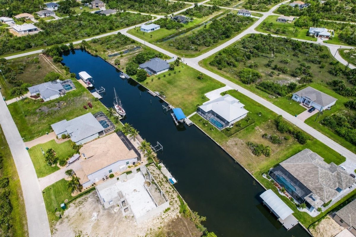
If you are comparing vacant residential lots in Port Charlotte, the right starting point is not just the photos or the price. It is the parcel identity, zoning context, road access, utility path, flood review, and whether the site fits your intended use after county verification.
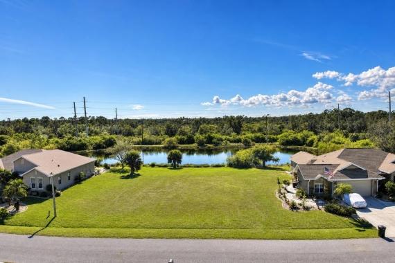
This LandCentury listing, LC18598, is for 0.23 acres at 15068 Aquarius Circle, Port Charlotte, FL 33981, in Charlotte County. The supplied data identifies parcel number 412115157009, 10,019 square feet of land, a $235,000 cash price, a Residential zoning field, and Paved Road access noted in the listing.
The main caveat is important: utilities, taxes, HOA or POA details, flood status, and permit suitability are not confirmed in the supplied data. Treat this as a well-identified residential land opportunity that still needs official Charlotte County due diligence before you rely on any development assumption.
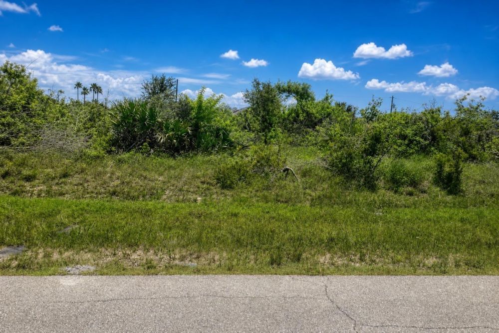
Property snapshot for 15068 Aquarius Circle
The supplied listing data gives a clear base profile for the parcel, while leaving several items that a buyer should verify directly with county records and utility providers.
This is the location to use when comparing the listing to maps, county records, and title documents.
The parcel number is the best lookup key for GIS, assessor, tax, and land-record research.
Square footage matters when checking setbacks, lot coverage, drainage, and any minimum-lot-size rules.
Use the price as the starting point for comparison, then add due-diligence and site-work costs to understand the real project budget.
This is a useful listing fact, but permitted uses and build requirements should be confirmed with Charlotte County before planning a home.
Paved access is noted in the listing, but buyers should still verify legal frontage, maintenance responsibility, and driveway requirements.
The deed type is stated in the listing data; title status and exceptions should still be reviewed before closing.
Water, sewer, power, septic feasibility, and any extension costs need separate verification before budgeting or building.
Port Charlotte and Charlotte County setting
The parcel-specific facts are straightforward: this is a 0.23-acre lot at 15068 Aquarius Circle in Port Charlotte, within Charlotte County, Florida. The listing places it in a residential land category and identifies paved-road access, but it does not confirm utilities, tax amounts, flood status, or recorded restrictions.
For a vacant-lot buyer, the most useful local context is the county research environment. Charlotte County’s GIS resources include layers for parcels, zoning, future land use, roads, water, and flood-related review, which makes county mapping a key first stop when checking this parcel.
Charlotte County Planning & Zoning is the relevant local authority for land-use and development questions, while Charlotte County Utilities is the appropriate source for water, sewer, and reclaimed-water availability. In coastal Florida, flood and drainage review should also be part of the early decision process, not a last-minute closing item.
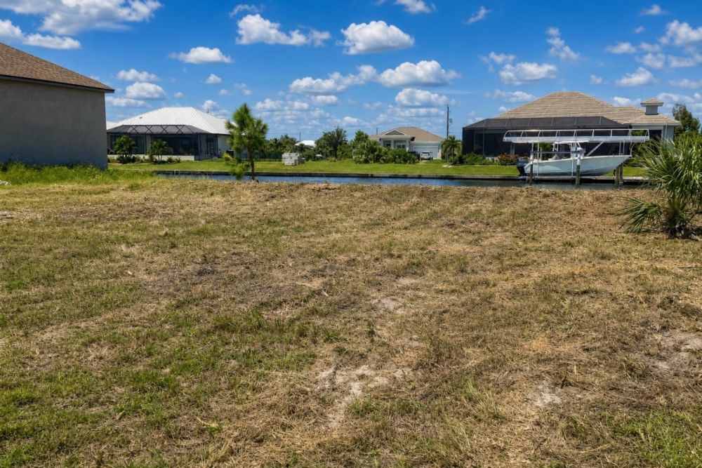
Potential uses and buyer fit
This property is best evaluated as a small residential land parcel for buyers who want a clearly identified Port Charlotte lot and are prepared to complete county-level feasibility work. The supplied data supports the acreage, parcel number, address, price, residential zoning field, and paved-road access notation, but it does not establish final buildability.
The most realistic use paths are residential in nature, subject to zoning, permits, access, utilities, water, sewer or septic feasibility, flood review, setbacks, drainage, easements, deed restrictions, and any HOA or POA rules that may apply.
- Residential homesite planning, if Charlotte County confirms the permitted use, building envelope, setbacks, access, utilities, and flood-related requirements.
- Longer-term ownership of a residential land parcel, with taxes, assessments, restrictions, and maintenance obligations verified before closing.
- A due-diligence candidate for a builder or buyer comparing Port Charlotte lots by parcel size, road access, zoning, utilities, and flood exposure.
- Possible adjacent-owner or assemblage interest only if ownership, title, zoning, and recorded restrictions make that practical.
Buyer due diligence checklist
Before making an offer or closing on this Port Charlotte lot, use the parcel number and address to confirm the listing facts against official records. These checks are especially important because utilities, tax amounts, flood status, and restrictions are not supplied in the listing data.
Confirm parcel identity and boundaries
Search parcel 412115157009 in county records and compare the result to the address and legal description. If the exact boundaries or build envelope matter, order a current survey rather than relying only on map outlines.
Verify zoning and future land use
The listing field says Residential, but buyers should confirm current zoning, future land use, overlays, setbacks, lot coverage, and permitted home types with Charlotte County before designing or budgeting a build.
Check utility availability
Utilities are not specified in the supplied data. Confirm water, sewer, reclaimed water, power availability, connection points, extension costs, and whether septic would be allowed if sewer is not available.
Review flood, drainage, and elevation issues
Use county flood resources, GIS flood-related layers, and FEMA map references to understand flood designation, drainage constraints, storm-surge considerations, and possible insurance or construction requirements.
Verify road access and maintenance
The listing notes Paved Road access, but buyers should confirm legal frontage, whether the road is public or private, maintenance responsibility, and any driveway or curb-cut requirements.
Research taxes, assessments, and restrictions
Because tax amounts, HOA or POA details, and special assessments are not supplied, check property appraiser and tax records, title documents, deed restrictions, easements, and any MSBU or similar local assessment items.
Confirm permits before planning construction
If the goal is to build, ask the county what permits, site plans, drainage approvals, tree clearing rules, utility approvals, septic reviews, or flood-elevation documentation may apply to this specific parcel.
The selected official source is Charlotte County’s GIS layer information resource because it points buyers toward the parcel, zoning, future land use, road, water, and flood-related map layers needed for first-pass research. Use GIS as a starting point, then confirm conclusions with the appropriate county office.
Financing note
The supplied listing data shows a $235,000 cash price and does not show owner-finance terms for this property. If you need financing, ask the seller or agent what forms of payment will be considered before assuming terms are available.
Vacant land financing can be more documentation-heavy than a standard home purchase. Lenders may ask about zoning, access, utilities, flood status, survey, title, and intended use, so the same due-diligence items that protect the buyer can also matter for loan approval.
- Is the listed $235,000 price based on a cash purchase only?
- Will the seller consider any financing terms, or is third-party financing required?
- What documentation will a lender need for zoning, access, utilities, flood status, survey, and title?
How to compare this lot with other Port Charlotte land
Do not compare vacant lots by price alone. Normalize by acreage, square footage, zoning, road access, utility availability, flood status, permit path, restrictions, and the likely cost of preparing the site for its intended use.
For this parcel, the strongest supplied facts are the clear address, parcel number, 0.23-acre size, 10,019 square feet, Residential zoning field, and paved-road access notation. The unknowns to compare carefully are utilities, taxes, HOA or POA obligations, special assessments, flood status, and site-specific build requirements.
Questions buyers may ask about this property and area
Bottom line
This 0.23-acre Port Charlotte parcel is a clearly identified residential land listing with a specific address, parcel number, stated cash price, and paved-road access noted in the supplied data. For a buyer focused on Charlotte County vacant land, those are useful starting facts.
The unanswered items are just as important. Utilities, taxes, HOA or POA obligations, flood status, special assessments, and site-specific build requirements are not confirmed in the supplied data, so the parcel should not be treated as turnkey until official due diligence is complete.
If the location and price fit your plan, the next step is to review the full listing, then use parcel 412115157009 to verify the county records before moving forward.
Next step: review the listing and verify the county records
See the current LandCentury listing details, then cross-check the parcel through official Charlotte County resources before making a decision.
Official research starting point
Use the Charlotte County GIS resource linked on this page to begin parcel, zoning, road, water, and flood-layer research for this specific lot.
You Might Like
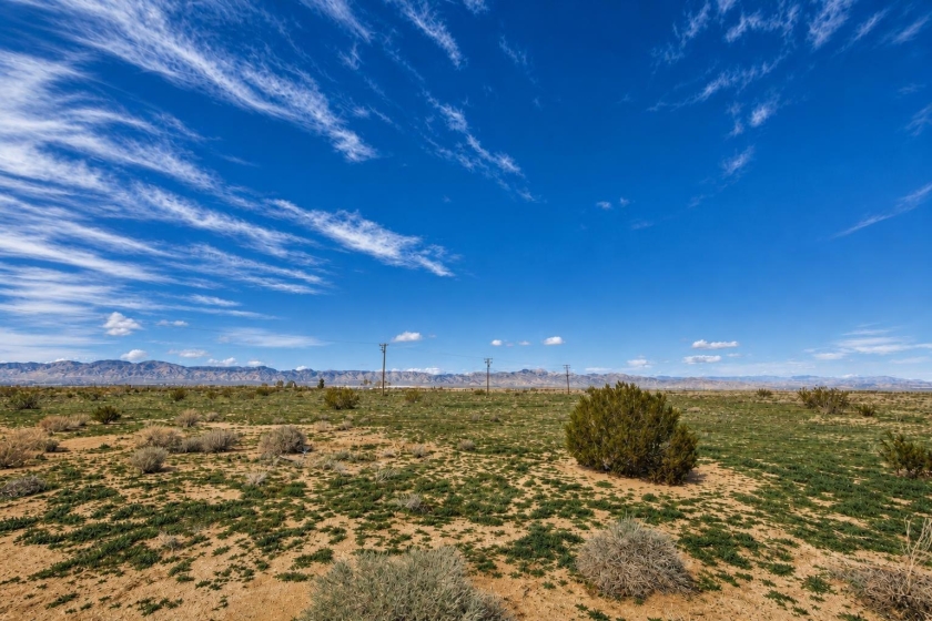
California City, CA Land for Sale: 0.257 Acres with Dirt Road
A $2,500 California City residential lot with dirt-road access noted—plus the checks to verify before buying.

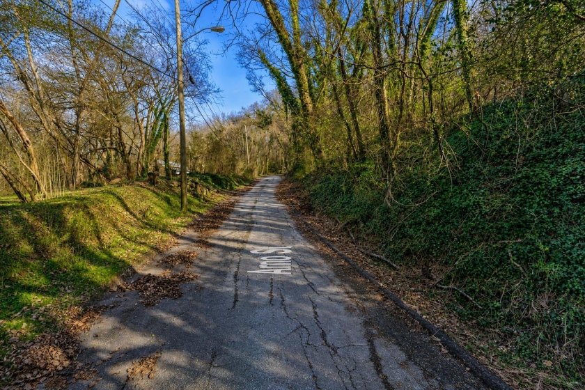
1 Acre Land for Sale in Chattanooga, TN: R2 Awtry St Lot with Utilities Listed
A 1-acre Chattanooga lot on Awtry St with R2 zoning and public utilities shown, priced at $20,000 cash.