Lucin, UT Land for Sale: 140 Acres with Dirt Road
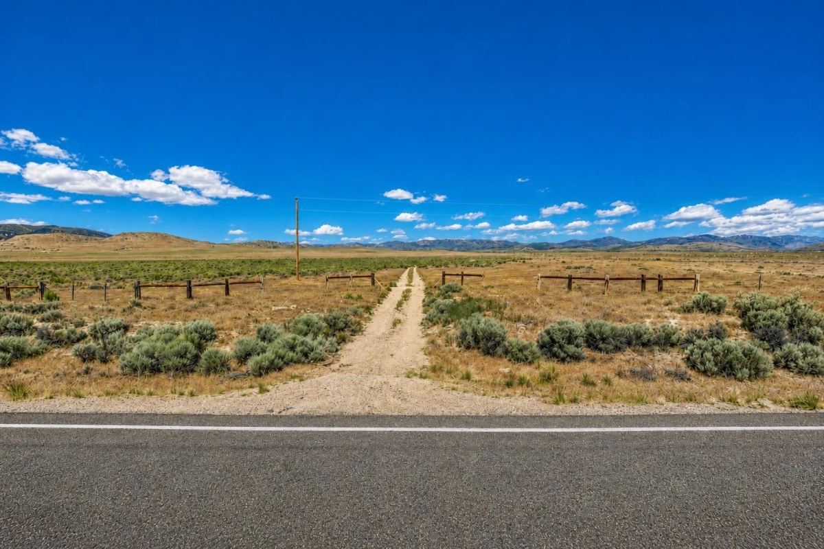
If you are comparing large, affordable Utah acreage, this Lucin-area tract is best viewed as a remote land opportunity where scale and price are the draw, and verification is part of the buying process.
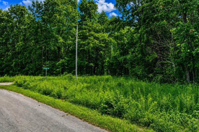
LandCentury property LC25219 is listed as 140 acres in Lucin, Box Elder County, Utah, with parcel number 010550003, a $47,000 cash price, recreational zoning, dirt-road access, and no utilities listed.
The important caveat: the listing does not confirm buildability, legal all-weather access, water, septic, or flood status. Those items should be checked with Box Elder County records, the appropriate county offices, and official flood-map tools before closing.
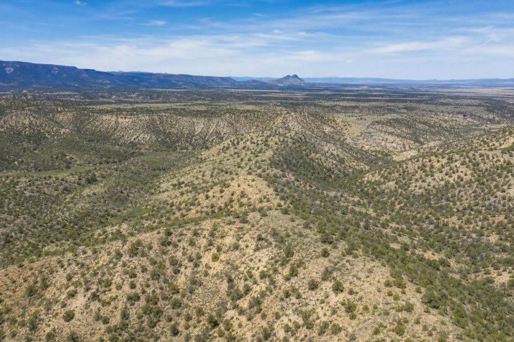
Property snapshot
Here are the core facts a buyer can use to frame the opportunity and plan the next due-diligence steps.
Use this LandCentury reference when asking about the listing or comparing it with the full property page.
This is the key identifier for assessor, GIS, tax, recorder, and title research.
The acreage supports a large-scale rural land use profile, but boundaries and acreage should still be verified in county records or survey data.
The per-acre figure is calculated from the supplied price and acreage and is useful for initial comparison, not a valuation guarantee.
The coordinates help with mapping, access review, and flood or drainage screening.
This points toward recreation-oriented use, but permitted activities, camping rules, structures, and occupancy limits must be confirmed with the county.
A dirt road is not the same as confirmed legal or all-weather access, and the lack of utilities makes water, septic, power, and communications research essential.
Taxes should be rechecked with the county before closing, and the deed type should be reviewed alongside title and recorded-document due diligence.
Area setting: Lucin and west Box Elder County
Lucin is a remote west Box Elder County location, so the practical questions are less about nearby amenities and more about access, infrastructure, land-use rules, and whether the property fits an off-grid or recreation-oriented plan.
Parcel-specific facts from the listing are limited to the Lucin location, the Grouse Creek address field, approximate coordinates, recreational zoning, dirt-road access, and no utilities. General area context should be checked through Box Elder County GIS, assessor, planning and zoning, roads, and building-permit resources.
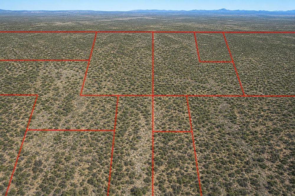
For a tract of this size, maps matter. Buyers should compare the listing location, parcel number, legal description, roads, and surrounding land patterns in official county mapping tools before assuming where the usable boundaries, approaches, or constraints are.
Potential uses and buyer fit
This property appears to fit buyers who want substantial acreage at a relatively low total cash price and are comfortable doing rural land due diligence before making plans. The strongest fit is likely a recreation-oriented or long-term land holding strategy, subject to county rules and access verification.
Because the listing states no utilities, buyers should treat the tract as infrastructure-light unless proven otherwise. Any plan involving cabins, RV stays, wells, septic systems, power, fencing, agricultural activity, or repeated access should be reviewed with the relevant county offices and service providers.
- Recreational land ownership, if county zoning and access rules allow the intended activity.
- Off-grid base-camp planning, only after confirming camping or RV limits, legal access, water, waste, and fire-safety requirements.
- Long-term rural land holding for a buyer who understands carrying costs, title review, and resale uncertainty.
- Agricultural or range-related interest, only if the specific activity is allowed and water, fencing, access, and land condition are independently verified.
- Privacy-scale open acreage for a buyer who values size over ready-to-build infrastructure.
Due diligence checklist for this Lucin acreage
Use the parcel number, legal description, and county resources to confirm the facts that matter most before closing. The listing is a starting point, not a substitute for title, zoning, access, and site-specific research.
Match the parcel number and legal description
Start with parcel number 010550003, then compare the legal description and the five referenced county descriptions against county assessor, GIS, and recorder records. Confirm that the acreage and ownership record align with the property being sold.
Confirm zoning and permitted uses
Ask Box Elder County planning and zoning what the recreational designation allows. Specifically verify camping, RV use, cabins, accessory structures, fencing, agricultural activity, occupancy limits, and whether any permits or conditional approvals would be required.
Verify legal access, not just physical access
The listing says Dirt Road access, but buyers should confirm whether the route is public, private, recorded by easement, or seasonal. Ask the county roads department about maintenance status and review recorded documents for ingress and egress rights.
Research water, septic, power, and communications
The listing states no utilities. Before planning improvements, confirm whether power can be extended, whether a well is feasible or permitted, whether hauled water is acceptable, and what septic or onsite wastewater rules apply.
Check taxes, assessments, and title
The listed tax amount is $130.00, but buyers should verify current taxes, delinquent amounts, special assessments, liens, and recorded restrictions before closing. A warranty deed does not replace a title review.
Map boundaries and terrain constraints
Use county GIS and, if needed, a surveyor to understand parcel boundaries, road approaches, neighboring ownership, and any visible drainage or access constraints. Large rural parcels can be difficult to evaluate from a single map view.
Screen flood, drainage, and environmental risk
Use official flood-map tools for the parcel location or coordinates and compare the results with local mapping and site observations. Also consider washes, drainage paths, wetlands, habitat constraints, or other site-specific issues if development is planned.
For flood due diligence, FEMA’s flood-map products are the official federal source for reviewing flood hazard information. Search by location or coordinates, then compare the flood-map results with county records and on-the-ground observations.
Financing and purchase structure
This listing is presented with a $47,000 cash price and is not marked as owner-financed or auction-based. The supplied listing data also shows a $5 deposit amount, but buyers should confirm the full purchase process, payment timing, and any closing requirements directly before relying on that figure.
For remote land, the purchase price is only one part of the budget. Title work, recording, taxes, access improvements, utility research, surveys, water, septic, and travel to inspect the property can all affect the true cost of ownership.
- Is the purchase handled through title or escrow, and who pays each closing cost?
- Are there any processing fees, recording fees, transfer costs, or prorated taxes due at closing?
- Is the $5 deposit refundable, and what does it reserve or obligate?
- Will the seller provide current title information and recorded documents before closing?
How to compare this land with other Utah acreage
This is a scale-first property: 140 acres at a stated $47,000 cash price, with recreational zoning, dirt-road access, and no utilities listed. That profile may appeal to buyers who prioritize acreage and remoteness over immediate infrastructure.
When comparing it with smaller lots or utility-served land, focus on the tradeoff. A lower per-acre price can be attractive, but remote land often requires more due diligence around legal access, water, septic, power, road conditions, and whether the county will allow the buyer’s intended use.
Questions buyers may ask about this property and area
Bottom line
This 140-acre Lucin listing is a large rural Utah land opportunity with a clear profile: recreational zoning, dirt-road access, no utilities listed, and a $47,000 cash price. For the right buyer, the appeal is acreage and remoteness rather than turnkey infrastructure.
The best next step is not to assume what can be done on the land. Confirm parcel identity, legal access, zoning, taxes, utilities, water, septic, and flood or drainage conditions before building a plan around the property.
If those checks align with your intended use and budget, this could be worth a closer look. If you need immediate utilities, confirmed residential buildability, or maintained all-weather access, make those requirements part of your verification before moving forward.
Review the full listing details
See the current property page, photos, seller information, and availability status before making a decision.
Helpful next steps
Use the property page for listing details, then compare county records, GIS maps, zoning guidance, road information, and FEMA flood tools before closing.

You Might Like

Holiday Island (Owner Financing Deal!), AR Land for Sale: 1.5 Acres with Paved Access & City Utilities
Mars Lane residential land with paved-road access listed, city utilities available, and 18-month owner financing.

Paradise on the Cheap - Find Cheap Acreage for Sale
If someone told you just to save 1000.00 dollars and choose where you want to build a home, would you believe it? Would you expect the proverbial swamp land? Of...
Cherokee Village Arkansas Land for Sale: 0.41 Acres with $838 Cash Price
A practical buyer guide to LC25683, a 0.41-acre Cherokee Village lot with residential zoning and key checks to verify.